"The sea, once it casts its spell, holds one in
its net of wonder forever."—Jacques Cousteau

Oct 12 - Exploring the Columbia River Gorge

“The world is a book and those who do not travel read only one page.” —Augustine of Hippo 

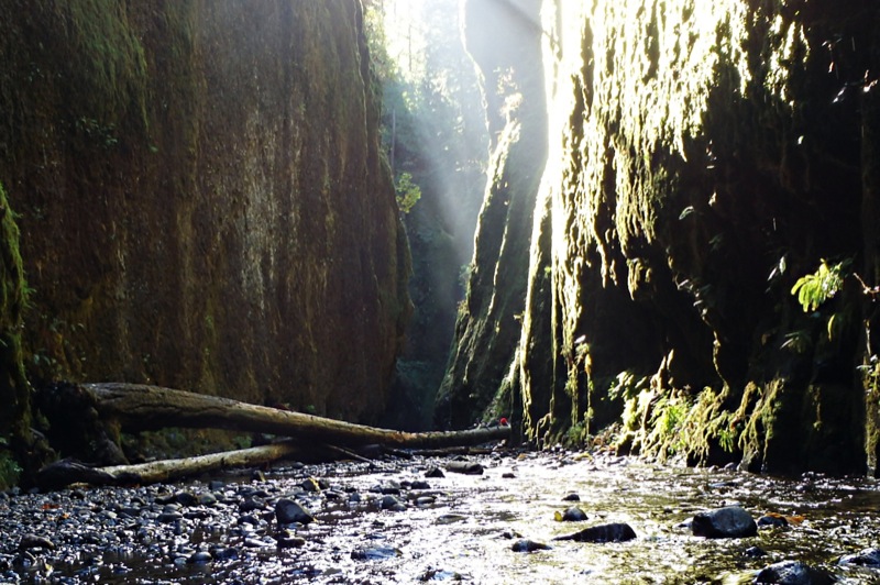
Today was all about waterfalls, hiking and beautiful scenery. We started in Hood River and drove west to Portland exploring every scenic stop. Our first stop was the Bridge of the Gods. You can read about the legend of the bridge and the mountain peaks in the area at this link. From here we began our quest to find all the waterfalls along the river. The best hike of the day was to Oneonta Falls. To reach the falls you have to hike up the riverbed…at one spot we were up to our waist in very cold water. Well worth the effort. You can read this article if you'd like to find out more details of this wonderful and intriguing hike up the gorge.

Columbia River Facts: The Columbia River Gorge is a canyon on the Columbia River, which forms the boundary between Oregon and Washington. The canyon stretches over 80 miles and is up to 4,000 feet deep. The gorge is a National Scenic Area. In 1805, the route was used by the Lewis and Clark Expedition to reach the Pacific.
  • Length of the Columbia River (7th longest in the US) -1243 miles
  • Average width of river - 1 mile
  • Average width of valley (Rim To Rim) - 3 miles
  • Length of the gorge (Troutdale To The Dalles) - 75 miles
  • Average height of the walls (South Side) ­- 1500-3000 feet
  • Size of the Columbia River Gorge National Scenic Area - 295,000 acres
  • Length of The National Scenic Area - 85 miles
  • Number of gorge waterfalls - 75
  • Wildflowers - 800 species
  • Wildflowers only found in the gorge – 13
  • Endangered species in the gorge - 24
  • Number of hiking trails in The National Scenic Area - 54
Early morning view over the Columbia River
Bridge of the Gods
Horsetail Falls - there are a lot of trails in this area
Oneonta Falls - the beginning of the trail
Multnomah Falls
Wahkeena Falls
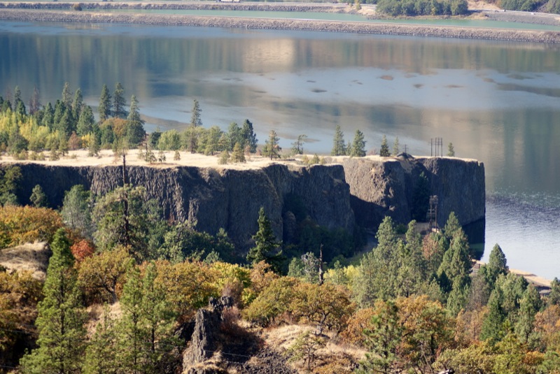
View of the Columbia River
Bridal Veil Falls
Shepperds Dell State Park
The Historic Columbia River Highway was built in the early 20th century and was the first major paved highway in the Pacific Northwest. 
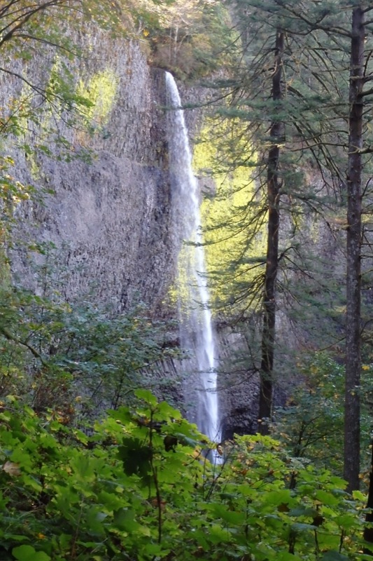
Latourell Falls - Our second favorite falls of the day
Vista House - a great overlook to see the Columbia River
The view from Chanticleer Point (Portland Women's Forum Viewpoint)

Oct. 11 - Columbia River Gorge

"Wildness reminds us what it means to be human, what we are connected to rather than what we are separate from."—Terry Tempest Williams

We spent our first day exploring the Columbia River Gorge...I'll let the pictures show what we experienced.

Views from Rowena Crest Viewpoint
Driving down the Historic Columbia River Highway
Views from Memoloose Overlook

Oct. 9-10 - Spokane, WA

“We Travel not to escape life, but for life not to escape us.” —Anonymous

We've spent the last two days visiting Stan's Aunt and cousins in Spokane. We drove up through central Oregon where the scenery changes from forest to high desert. Besides lots of National Forest the area is used for ranching and farming...but the fields definitely look different here. Huge rolling hills used to grow wheat in Oregon and crop circles in Washington that seem to have all kinds of things still growing in them. They use center pivot irrigation so the fields look like circles. It was very interesting to see. 

Stan's aunt kept us busy exploring the Spokane area and we'll feed. Some of our activities included a walk through the gardens at Manito Park, a local theater production of "Catch Me If You Can", driving around town to see the beautiful colors of the changing leaves, a visit to Coeur d'Alene in Idaho and the Chinese Lantern Festival along the Spokane River. We've had a lot of fun visiting with Jean, Karen, Tim, Avery and Carson and we look forward to coming back...especially so Stan can do a little fishing. 

Central Oregon
Satellite view of some of the fields in southern Washington 
Manito Park in Spokane
Coeur d'Alene, Idaho
Chinese Lantern Festival