"The sea, once it casts its spell, holds one in
its net of wonder forever."—Jacques Cousteau

Feb. 11 - The Gulf Stream

Sombrero Resort & Marina

The Islands of the Bahamas are not too far off the Florida coast and first landfall can be easily done in a day, but picking the right day to cross the Gulf Stream is key. If the wind is out of the north, opposing the strong current of the Gulf Stream, the seas can build up to a dangerous and nasty state. Something we definitely want to avoid, but when the wind is right and we leave from the right place, the stream can actually give us a boost and increase our speed. Making our trip a little quicker and when you travel on a slow boat, like we do, you can use all the help you can get. 

Gulf Stream Info: The Gulf Stream is a warm, river-like current of water that carries warm water from the Gulf of Mexico northward past the tip of Florida, accelerating along the eastern coastline between Florida and the Bahamas, and then turns eastward off North Carolina, joining another current—the North Atlantic Drift—and travels as far as Ireland and Great Britain.

The Gulf Stream has an average speed of 4 MPH and is powerful enough to be seen from space. It was visible even in the earliest satellite studies and strong thermal gradients also make it visible to infrared measurements. In Florida the Gulf Stream is about 6 miles off shore and is anywhere from 10 to 30 miles wide. With depths ranging from 1000’ to 4700’.

Gulf Stream History: Ponce de Leon first observed the Gulf Stream in 1513. Around 1770, the Board of Customs in Boston noticed that packets traveling between Falmouth, MA, and New York took two weeks longer to arrive than merchants traveling from London to Rhode Island. This was perplexing as Falmouth and New York were less than a day apart by road. Benjamin Franklin spoke with a sea captain who told him that while fishing for whales, he noticed that the whales would swim alongside the Gulf Stream, but never in it. Fishermen would frequently cross the Gulf Stream, where they passed packet ships sailing within, against the current. This was the reason for the delays. Franklin had the captain mark the location of the Gulf Stream, as well as the directions of its currents and the first map was produced in the late 1700s.

The location of the Gulf Stream plotted on the 1769 Franklin-Folger map, is very similar to the location of the Gulf Stream as revealed by the satellites today. Franklin took measurements of the sea-surface temperatures during his crossings of the Atlantic, thereby developing a navigation technique based on the location of the warm Gulf Stream waters.

Benjamin Franklin's map of the Gulf Stream. He was the first one to refer to this current as the Gulf Stream in 1762
The Gulf Stream, in orange, is easily visible as the warmest water in this image from a NOAA satellite. 
These are the controlling currents in the Atlantic Ocean 

Feb. 10 – Marathon, FL

Sombrero Resort & Marina

“Never be someone’s Plan B when you can make your own Plan A.” ~ Unknown

We’ve been in Marathon for six weeks; it’s hard to believe how fast the time has flown by. It’s about time for us to start thinking about our trip to the Bahamas. In a little over two weeks we'll leave Marathon and move up the Keys to position ourselves for our crossing to the Bahamas. We're both getting excited about having new places to explore. Our biggest obstacle in getting to the Bahamas is the wind. The last three weeks have been very windy…one cold front after another. Hopefully by the first week or so in March the weather will settle down a little and give us a few days to get to Abaco. The exact spot that we cross the Gulf Stream will depend on when the wind and the seas are favorable. We’d like to visit Islamorada, Key Largo and Biscayne National Park if we have time, but if we get a weather window we may have to skip these places.

This map shows how far the West End in the Bahamas is from towns in Florida
Hope Town Harbor in Abaco...we can hardly wait to see this picturesque place. (photos from the internet)
Hope Town Lighthouse

Feb. 8 - Cousin Time

Sombrero Resort & Marina

“Our memories of the ocean will linger on, long after our footprints in the sand are gone.” —Anonymous

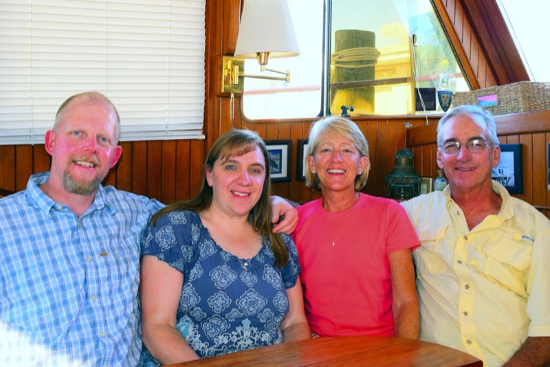
Stan comes from a large family...a VERY large family. I use to tease our boys while they were growing up that anywhere they went in town there would probably be a cousin close by, maybe not a first cousin, but a cousin nonetheless. The large part of Stan's family comes from his Daddy's side; his Mother's side is smaller, with only four first cousins. Being smaller you'd think he would have met all of them, but that wasn't true until today. Karen and her husband Tim live in Spokane and are in the Keys on vacation, so they came by to visit.

We had a wonderful time having them on board. This was the first day in weeks where the wind has been low enough for us to actually take the boat out and be comfortable. We had lunch onboard and then took them for a ride. We went out Sister's Creek into the Atlantic, then around Boot Key and back into Boot Key Harbor. It was a beautiful sunny day and the water was amazing with many shades of blue. We enjoyed our day getting to know them and look forward to seeing them again...maybe we'll get to the Northwest Pacific area later in the year. (By car…not boat)